Map of the Indian Empire

The Imperial Gazetteer of India, Vol. I, The India Office, 1907 · from page 571 · about 1 minutes

Read by machine, not yet checked by a person. It may hold small errors.

PREPARED FOR

THE IMPERIAL GAZETTEER OF INDIA

BY J. G. BARTHOLOMEW, F.R.G.S.
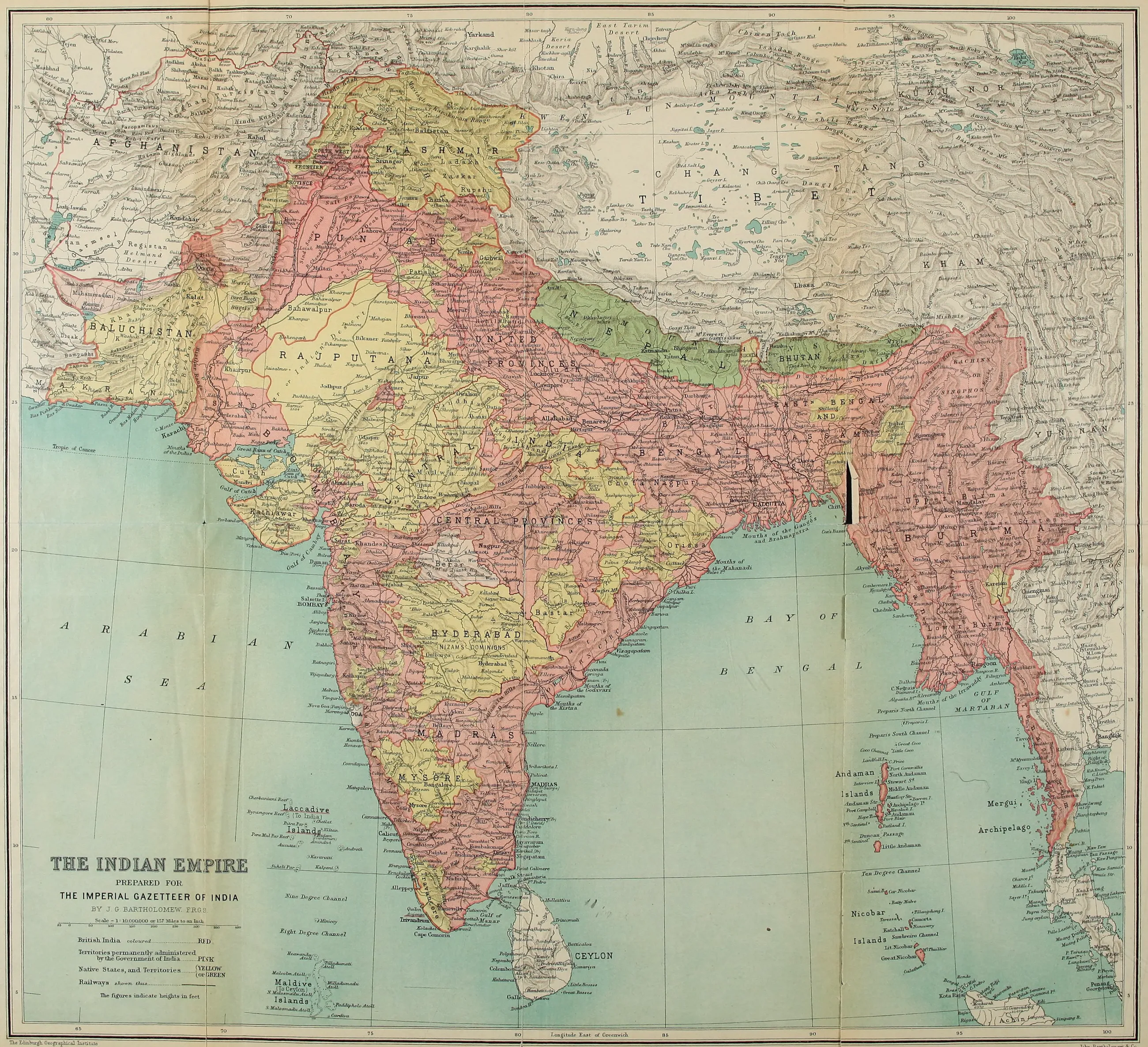
Map of the Indian Empire prepared for The Imperial Gazetteer of India, showing British India, permanently administered territories, native states, railways, and heights in feet. — Scale = 1 : 10,000,000 or 157 Miles to an Inch — British India coloured .................. RED
Scale = 1 : 10,000,000 or 157 Miles to an Inch — British India coloured .................. RED

Territories permanently administered by the Government of India ......... PINK

Native States, and Territories ......... (YELLOW (OR GREEN

Railways shewn thus........................

The figures indicate heights in feet

The Edinburgh Geographical Institute

John Bartholomew & Co.
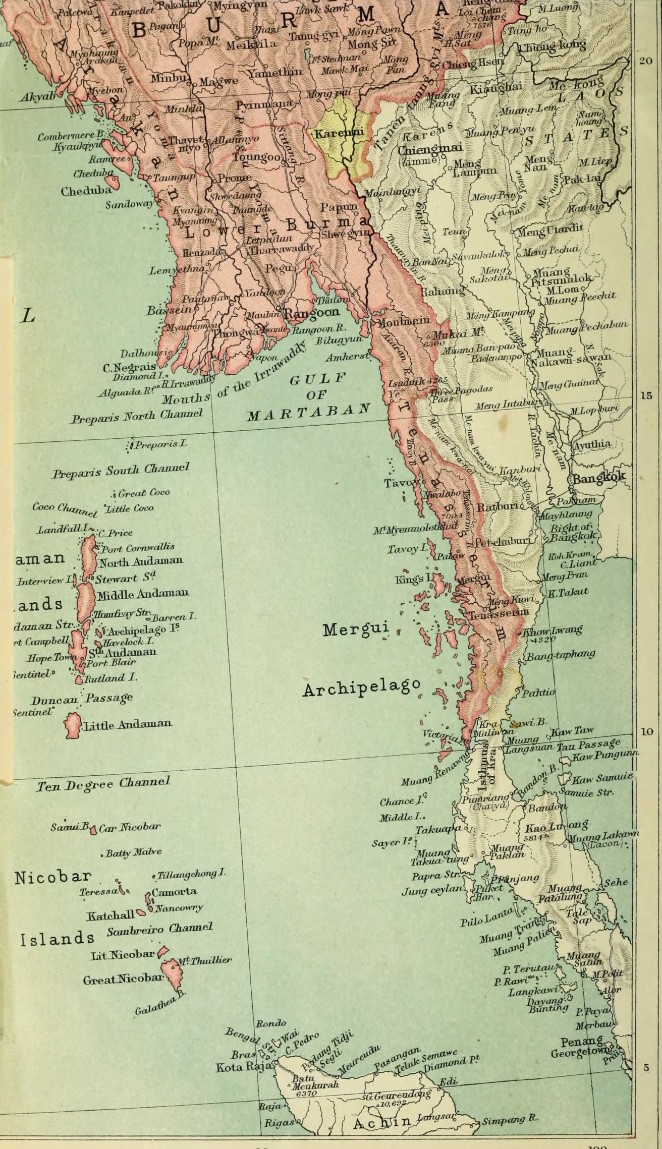
Map of Lower Burma, Tenasserim, Mergui Archipelago, Andaman and Nicobar Islands, Siam (Bangkok), and northern Sumatra (Achin).

John Bartholomew & Co.